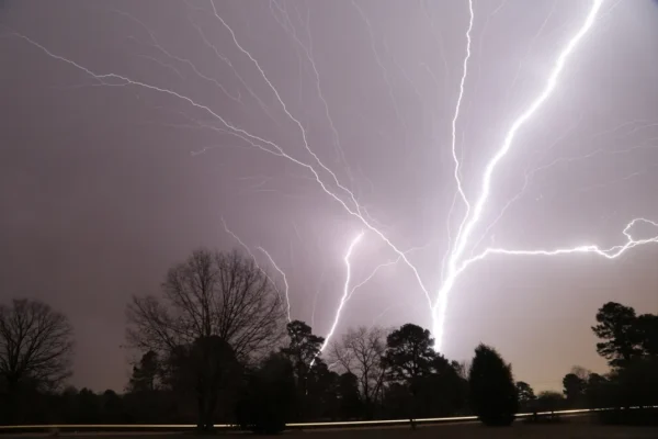
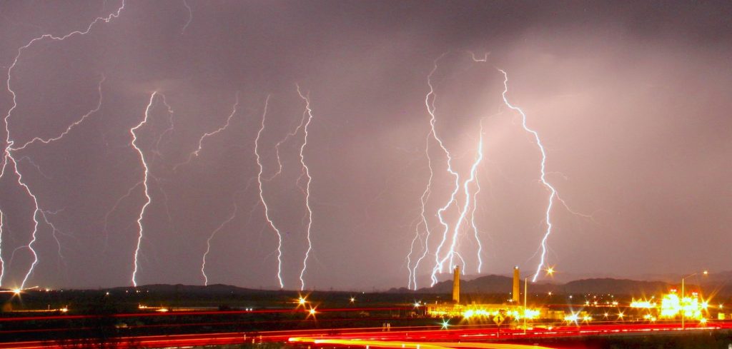
When it comes to understanding how thunderstorms form, we delve into a fascinating interplay of meteorological conditions that culminate in nature’s dramatic displays. Thunderstorms are not just random occurrences; they are the result of specific atmospheric conditions interacting with each other. They can vary widely in intensity and duration, but the core principles behind their formation remain consistent. This article will explore the intricate process of thunderstorm development, the types of thunderstorms, and the various factors that contribute to their intensity.

The Basics of Atmospheric Conditions
To grasp how thunderstorms form, it is crucial to understand the fundamental atmospheric conditions required for their development. Various elements come together to create an environment conducive to storm activity.
The Role of Heat and Humidity
Heat and humidity serve as the primary fuel for thunderstorms.
Warm air holds more moisture than cold air. When warm, moist air rises from the surface, it creates an environment rich in energy. As this air ascends, it cools and eventually reaches a point where it condenses into water droplets, forming clouds. This process releases latent heat, which further fuels the upward movement of air, enhancing the storm’s potential intensity.
Humidity plays a pivotal role as well. An abundance of water vapor increases the likelihood of cloud formation and precipitation. Without sufficient humidity, the air would not sustain the development of clouds or the subsequent thunderstorms. In this way, the interaction of heat and humidity creates an essential foundation for thunderstorm formation.
Updrafts and Downdrafts
The dynamic relationship between updrafts and downdrafts is central to understanding how thunderstorms form.
An updraft is a current of rising air that occurs when warm air at the surface heats up and starts to rise. This updraft can extend several kilometers into the atmosphere, creating towering cumulonimbus clouds, which are characteristic of thunderstorms. As the air rises, it cools and condenses, leading to cloud formation.
Conversely, downdrafts occur when precipitation falls from the clouds and drags cooler air down with it. The interaction between these updrafts and downdrafts is responsible for the lifecycle of a thunderstorm. Strong updrafts can lead to severe thunderstorms, while weaker storms may never reach their full potential due to insufficient lift.
The Importance of Wind Shear
Wind shear refers to the change in speed or direction of wind at different altitudes. This phenomenon is crucial in determining how thunderstorms develop and evolve.
In environments with significant wind shear, the vertical movement of air gets organized, allowing storms to become better structured and more persistent. For instance, if the wind at the upper levels is blowing faster than the wind at the surface, it can tilt the storm, allowing the updraft to persist even as downdrafts occur.
This tilt creates a more organized storm structure that can lead to supercell thunderstorms, known for their severe weather potential including tornadoes. By analyzing wind shear in conjunction with other factors, meteorologists can predict the likelihood of severe thunderstorm development.

Types of Thunderstorms
Understanding how thunderstorms form also involves recognizing the various types that exist, each with unique characteristics and formation processes.
Single-Cell Thunderstorms
Single-cell thunderstorms are often the most straightforward type and typically last for a short period.
They usually develop in warm, humid conditions with weak wind shear. These storms are often characterized by a single updraft and can produce brief heavy rain and lightning but are generally not severe.
Due to their short lifespan, single-cell thunderstorms tend to dissipate quickly once the updraft weakens.
Multi-Cell Thunderstorms
Multi-cell thunderstorms consist of clusters of individual cells working together to create a larger storm system.
These storms can form in environments with moderate wind shear, which allows multiple updrafts to coexist at varying stages of development. As one cell matures and produces precipitation, another may begin to develop nearby.
This life cycle leads to a continuous cycle of storms that can produce severe weather, including hail and flash flooding. The organization of multi-cell systems can often lead to longer-lived and more intense storm events compared to single-cell systems.
Supercell Thunderstorms
Supercell thunderstorms represent the pinnacle of thunderstorm intensity and complexity.
These storms are distinguished by their rotating structure and sustained updrafts, known as mesocyclones. Supercells require strong wind shear and instability to form, making them capable of producing severe weather events like large hail, destructive winds, and tornadoes.
The rotation within a supercell can be particularly dangerous, as it can lead to the development of a tornado under the right conditions. Meteorologists closely monitor supercells due to their capacity for devastation and the challenges they present in terms of prediction and forecasting.
Squall Lines and Derechos
Squall lines are elongated bands of thunderstorms that can produce severe weather over long distances.
They often form ahead of a cold front, where warm, moist air is forced to rise rapidly. The result is a line of storms that can create damaging winds and heavy rainfall.
Derechos are a specific subtype of squall line characterized by widespread wind damage. They can travel across vast areas and produce destructive straight-line winds. Both squall lines and derechos exemplify the power and reach of thunderstorms, illustrating how they can manifest in various forms depending on the atmospheric conditions present.

The Life Cycle of a Thunderstorm
To further comprehend how thunderstorms form, it is valuable to explore their life cycle. Thunderstorms undergo distinct stages, each marked by unique characteristics and behaviors.
Developing Stage
The developing stage marks the initial growth of a thunderstorm.
During this phase, warm, moist air begins to rise, forming cumulus clouds. As the updraft continues to develop, the cloud grows taller and more organized. Condensation occurs as the air cools, releasing latent heat and fueling the storm’s growth.
In this early stage, the storm is primarily defined by its updrafts, and precipitation has not yet begun to fall. This is an important time for the storm, as the strength of the updraft can determine whether the thunderstorm will intensify or fizzle out.
Mature Stage
The mature stage is characterized by the storm reaching its peak intensity.
During this phase, both updrafts and downdrafts exist simultaneously. Heavy precipitation begins to fall, and thunder and lightning become prevalent. The storm may produce strong winds, hail, and even tornadoes if conditions are favorable.
In this stage, the storm is at its most active, and severe weather is likely. It is also during this stage that the storm generates significant outflow boundaries, which can trigger new storm development, extending the storm’s influence over a broader area.
Dissipating Stage
The dissipating stage marks the end of the thunderstorm’s life cycle.
As the storm weakens, the updraft diminishes, leading to a reduction in precipitation. The downdrafts dominate during this phase, causing the storm to lose its structure and energy.
Eventually, the storm may completely dissipate, leaving behind residual clouds and perhaps some lingering effects such as gusty winds or light rain. Understanding this life cycle helps forecasters anticipate storm behavior and assess the associated risks.
Weather Forecasting and Thunderstorm Prediction
To effectively manage and respond to thunderstorms, understanding how thunderstorms form is essential for accurate weather forecasting.
Meteorologists use various tools and techniques to predict thunderstorm activity and assess potential hazards.

Radar Technology
Radar technology has revolutionized the field of meteorology, providing real-time data on storm development.
Doppler radar, in particular, is a critical tool that allows meteorologists to monitor precipitation intensity, wind direction, and speed within storms.
Through radar analysis, meteorologists can visualize the structure of a thunderstorm, identify areas of rotation, and forecast possible severe weather events. The use of radar significantly enhances our ability to understand how thunderstorms form and evolve.
Computer Models
Computer models simulate atmospheric conditions and help predict thunderstorm formation.
These numerical models take into account various factors such as temperature, humidity, wind shear, and geographical features. By inputting current observations into these models, meteorologists can generate forecasts indicating the likelihood of thunderstorms and their potential severity.
While computer models provide valuable insights, they also have limitations. Complex interactions in the atmosphere can lead to uncertainties in predictions, underscoring the need for continuous improvement in forecasting techniques.
Ground Observations
Ground observations play a vital role in validating and refining weather forecasts.
Meteorologists rely on a network of weather stations, satellites, and field surveys to gather data on temperature, humidity, and pressure changes.
These observations help paint a comprehensive picture of the atmosphere and enhance our understanding of how thunderstorms form. Furthermore, citizen reports and storm spotters contribute invaluable information about local weather phenomena, improving situational awareness and safety.
Conclusion
Understanding how thunderstorms form is essential for comprehending the complexities of weather patterns and predicting severe weather events. The intricate interplay of atmospheric conditions, such as heat, humidity, updrafts, downdrafts, and wind shear, shapes the development and behavior of thunderstorms.
By exploring the various types of thunderstorms, their life cycles, and the advancements in weather forecasting, we gain insight into one of nature’s most awe-inspiring phenomena. With continued research and technological advancements, our ability to predict and respond to thunderstorms will only improve, ensuring greater safety for communities worldwide.

